Cartography, map-making and projections
Explore the intricate science behind cartography, map-making, and projections, offering insight into how our world is represented and understood. This category provides a range of resources for geography enthusiasts, students, and professionals alike, encompassing both historical perspectives and modern techniques. Delve into the art and science of mapping to enhance spatial awareness and appreciation of Earth's diverse landscapes.
Tram Atlas Mitteleuropa / Central Europe: Tschechien, Slowakei, Ungarn + Polen
-20% with code BOOKS
In stock at our supplier

Mapmatics: How We Navigate the World Through Numbers
-20% with code BOOKS
In stock at our supplier

Modern Web Cartography: Open Source Map Solutions with OpenStreetMap, Overpass, Nominatim, Leaflet and Folium
-20% with code BOOKS
In stock at our supplier
Cartography
Charles H. Deetz, U. S. Coast And Geodetic Survey
-20% with code BOOKS
In stock at our supplier
Cartography Introduction: Cylindrical equal-area projection, Waymarking, Pacific Railroad Surveys, Raised-relief map, Babylonian Map of the World, Cartography of Asia, GeoComputation, SAGA GIS, MapGuide Open Source, Robert Erskine, Great Trigonometric Sur
-20% with code BOOKS
In stock at our supplier
Further Development of the L2/L1-norm GOCA Kalman-Filtering DLL and Extension to the Computation and Visualization of Variance Estimations and Probability and Forecasting States
-20% with code BOOKS
In stock at our supplier

Mapping Yellowstone: A History of the Mapping of Yellowstone National Park
-20% with code BOOKS
In stock at our supplier
Glossary of Mapping, Charting, and Geodetic Terms: Fourth Edition
Defense Mapping Agency, Department Of Defense
-20% with code BOOKS
In stock at our supplier
Cartography: Science of Making Maps
-20% with code BOOKS
In stock at our supplier
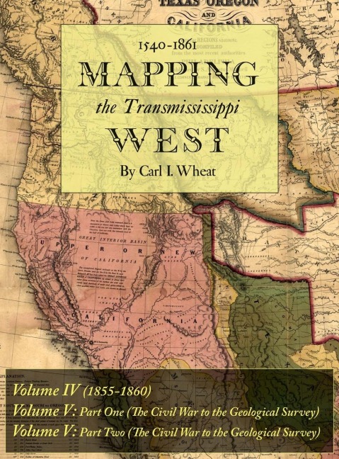
Mapping the Transmississippi West 1540-1861: Volumes Four through Six Bound in One
-20% with code BOOKS
In stock at our supplier
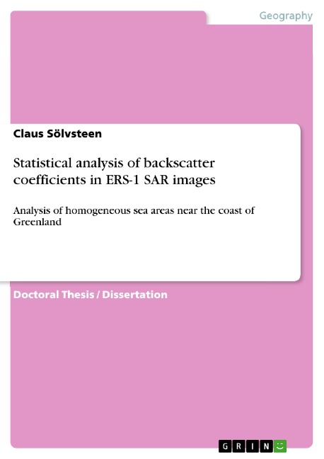
Statistical analysis of backscatter coefficients in ERS-1 SAR images: Analysis of homogeneous sea areas near the coast of Greenland
-20% with code BOOKS
In stock at our supplier
Research Developments in Geotechnics, Geo-Informatics and Remote Sensing: Proceedings of the 2nd Springer Conference of the Arabian Journal of Geosciences (CAJG-2), Tunisia 2019
-20% with code BOOKS
In stock at our supplier
Ubiquitous Mapping: Perspectives from Japan
-20% with code BOOKS
In stock at our supplier
Land Use Cover Datasets and Validation Tools: Validation Practices with QGIS
-20% with code BOOKS
In stock at our supplier
Land Use Cover Datasets and Validation Tools: Validation Practices with QGIS
-20% with code BOOKS
In stock at our supplier
Open Mapping towards Sustainable Development Goals: Voices of YouthMappers on Community Engaged Scholarship
-20% with code BOOKS
In stock at our supplier
Open Mapping towards Sustainable Development Goals: Voices of YouthMappers on Community Engaged Scholarship
-20% with code BOOKS
In stock at our supplier
Research Developments in Geotechnics, Geo-Informatics and Remote Sensing: Proceedings of the 2nd Springer Conference of the Arabian Journal of Geosciences (CAJG-2), Tunisia 2019
-20% with code BOOKS
In stock at our supplier
Evaluating Participatory Mapping Software
-20% with code BOOKS
In stock at our supplier
Ubiquitous Mapping: Perspectives from Japan
-20% with code BOOKS
In stock at our supplier
MGRS Explained: The Military Grid Reference System in Simple Terms
-20% with code BOOKS
In stock at our supplier
Category „Cartography, map-making and projections“
Exploring the world has always ignited a profound curiosity in the human spirit, and cartography—the art and science of map-making—serves as one of the most fascinating avenues to understand our planet. This category delves into the intricate processes of creating maps, the technology behind projections, and the historical significance of cartography throughout different cultures and eras. Whether you are a seasoned geographer, an aspiring explorer, or simply someone curious about the world around them, this selection of books offers insights that appeal to a diverse range of interests.
The evolution of cartography goes hand in hand with advancements in human understanding of geography, enabling scholars and adventurers alike to visualize uncharted territories. In an age when digital maps dominate our navigation, appreciating the artistry and precision of traditional map-making can bring a new perspective to its significance. Readers will find a collection of engaging texts that not only highlight the technicalities of creating accurate maps and projections but also celebrate the imaginative storytelling that maps can convey.
Through exploring this category, readers can discover how different projections affect the perception of scale, distance, and area. The benefits of understanding cartography extend beyond academic exploration; they enhance critical thinking skills and foster a deeper appreciation for the complexities of global relationships and environmental issues. For those with a keen interest in the historical context of maps, the literature included also sheds light on how maps have influenced trade routes, territorial disputes, and cultural narratives.
Authors and publishers within this category are passionate experts dedicated to demystifying the intricacies of cartography. They provide readers with both foundational knowledge and advanced techniques applicable to a variety of fields, from education to environmental science. By engaging with such texts, readers can not only enhance their knowledge of geography but also cultivate a sense of wonder about the world we inhabit.