Geographical information systems, geodata and remote sensing
Geographical information systems, geodata, and remote sensing represent the cutting-edge tools and technologies used to analyze and visualize spatial data. This category encompasses a range of titles that serve professionals, researchers, and enthusiasts looking to understand the complexities of our planet through innovative mapping techniques and data analysis. Explore comprehensive resources that highlight the significance of geography in environmental studies and how it shapes our understanding of the world.
Das deutsche Vermessungs- und Geoinformationswesen 2025: Digitale Transformation - Herausforderungen, Konzepte, Lösungen
-30% with code BOOKS
In stock at our supplier

Mine Action: The Research Experience of the Royal Military Academy of Belgium
-30% with code BOOKS
In stock at our supplier

Photogrammetrie - Laserscanning - Optische 3D-Messtechnik: Beiträge der Oldenburger 3D-Tage und des BIMtages 2024
-30% with code BOOKS
In stock at our supplier

Advanced Geospatial Intelligence and AI for Environmental Resilience and Sustainable Development
-30% with code BOOKS
In stock at our supplier

Data-Driven Earth Observation for Disaster Management
-30% with code BOOKS
In stock at our supplier
Advanced Python Scripting for ArcGIS Pro
-30% with code BOOKS
In stock at our supplier
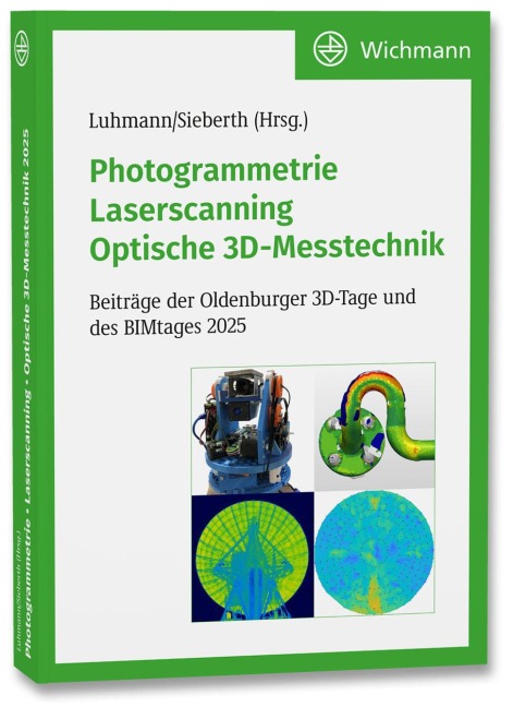
Photogrammetrie - Laserscanning - Optische 3D-Messtechnik: Beiträge der Oldenburger 3D-Tage und des BIMtages 2025
-30% with code BOOKS
In stock at our supplier
Spatial Information Theory: A Theoretical Basis for GIS: A Thoretical Basis for GIS. International Conference, COSIT 95, Semmering, Austria, September 21-23, 1995, Proceedings
-30% with code BOOKS
In stock at our supplier
Spatial Information Theory: A Theoretical Basis for GIS: A Theoretical Basis for GIS. European Conference, COSIT93, Marciana Marina, Elba Island, Italy, September 19-22, 1993. Proceedings
-30% with code BOOKS
In stock at our supplier
Qualitative Representation of Spatial Knowledge
-30% with code BOOKS
In stock at our supplier

An Introduction to Satellite Image Interpretation
-30% with code BOOKS
In stock at our supplier
Algorithmic Foundations of Geographic Information Systems
-30% with code BOOKS
In stock at our supplier


Marine and Coastal Geographical Information Systems
-30% with code BOOKS
In stock at our supplier

Marine and Coastal Geographical Information Systems
-30% with code BOOKS
In stock at our supplier
Temporal, Spatial, and Spatio-Temporal Data Mining: First International Workshop TSDM 2000 Lyon, France, September 12, 2000 Revised Papers
-30% with code BOOKS
In stock at our supplier
Spatial Information Theory: Foundations of Geographic Information Science: International Conference, COSIT 2001 Morro Bay, CA, USA, September 19-23, 2001 Proceedings
-30% with code BOOKS
In stock at our supplier
Digital Earth Moving: First International Symposium, DEM 2001, Manno, Switzerland, September 5-7, 2001. Proceedings
-30% with code BOOKS
In stock at our supplier
Sustainable Coastal Management: A Transatlantic and Euro-Mediterranean Perspective
-30% with code BOOKS
In stock at our supplier
Sustainable Coastal Management: A Transatlantic and Euro-Mediterranean Perspective
-30% with code BOOKS
In stock at our supplier

Contouring Geologic Surfaces With The Computer
D. E. Hamilton, T. A. Jones, C. R. Johnson
-30% with code BOOKS
In stock at our supplier

Radar Remote Sensing of Planetary Surfaces
-30% with code BOOKS
In stock at our supplier

Environmental Information Management And Analysis: Ecosystem To Global Scales
-30% with code BOOKS
In stock at our supplier
Spatial Information Theory. Foundations of Geographic Information Science: International Conference, COSIT 2003, Ittingen, Switzerland, September 24-28, 2003, Proceedings
-30% with code BOOKS
In stock at our supplier

Processing of SAR Data: Fundamentals, Signal Processing, Interferometry
-30% with code BOOKS
In stock at our supplier
Spatio-Temporal Databases: Flexible Querying and Reasoning
-30% with code BOOKS
In stock at our supplier
Map-based Mobile Services: Theories, Methods and Implementations
-30% with code BOOKS
In stock at our supplier
Category „Geographical information systems, geodata and remote sensing“
Geographical information systems (GIS), geodata, and remote sensing represent a fascinating intersection of technology and geography, catering to a diverse audience that ranges from students to professionals. This category is dedicated to exploring the various dimensions of how we collect, analyze, and utilize spatial data to understand the world around us. With the advent of technology, the demand for accurate geospatial information has grown, making it an essential tool for urban planning, environmental monitoring, disaster management, and resource allocation.
The history of GIS dates back several decades, evolving from simple mapping techniques to sophisticated analytical tools that help users visualize and interpret complex data. The benefits of delving into this subject are numerous; professionals equipped with GIS knowledge can unlock insights that inform decision-making processes and drive sustainable development in communities across the globe. Readers will find valuable resources in this category that assist in mastering the essential skills needed for effective geospatial analysis.
The integration of geodata and remote sensing technologies further enriches this field, providing innovative perspectives and methodologies for tackling contemporary challenges. Whether it’s through satellite imagery, aerial photography, or digital mapping, these tools allow for enhanced observation and understanding of environmental changes, urban expansion, and various phenomena that affect our planet.
In this category, readers will also discover works by a plethora of authors and publishers who are committed to advancing knowledge in this dynamic field. Their contributions range from foundational texts for newcomers to in-depth analyses aimed at seasoned practitioners. Together, these materials foster a deeper appreciation for the role of geographical information systems in shaping informed societies and resilient environments.