Road atlases and maps
Detailed road atlases and maps serve as essential tools for travelers and adventure seekers, offering clear and comprehensive route planning for journeys both near and far. With high-quality graphics and practical features, this category includes resources that are perfect for those exploring new destinations, ensuring a smooth and enjoyable travel experience.
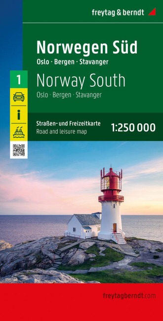
Norwegen Süd, Straßen- und Freizeitkarte 1:250.000, freytag & berndt: Oslo - Bergen - Stavanger, mit Autofähren
-20% with code BOOKS
In stock at our supplier
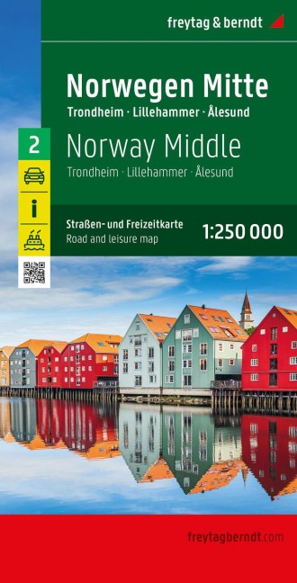
Norwegen Mitte, Straßen- und Freizeitkarte 1:250.000, freytag & berndt: Trondheim - Lillehammer - Ålesund, mit Autofähren
-20% with code BOOKS
In stock at our supplier
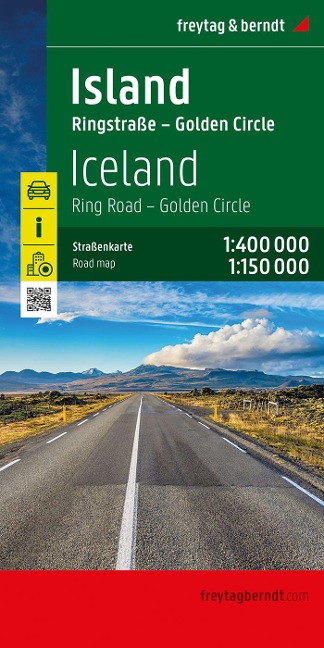
Island, Straßenkarte 1:400.000, freytag & berndt: Ringstraße - Golden Circle 1:150.000, Innenstadtpläne
-20% with code BOOKS
In stock at our supplier
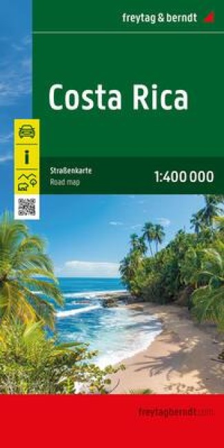
Costa Rica, Straßenkarte, 1:400.000, freytag & berndt
-20% with code BOOKS
In stock at our supplier
MARCO POLO Reisekarte Albanien, Nordmazedonien 1:450.000: Kosovo - Straßenkarte und Autokarte mit sehenswerten Strecken, Highlights und digitaler Erweiterung
-20% with code BOOKS
In stock at our supplier
Norwegen, Straßenkarte 1:600.000, freytag & berndt
-20% with code BOOKS
In stock at our supplier
Frankreich Nord, Straßenkarte 1:500.000, freytag & berndt
-20% with code BOOKS
In stock at our supplier
Schweden, Straßenkarte 1:600.000, freytag & berndt
-20% with code BOOKS
In stock at our supplier
Deutschland, Straßenkarten-Set 1:200.000, 2026/2027, freytag & berndt: 18 Straßenkarten in praktischer Kartentasche
-20% with code BOOKS
In stock at our supplier
Südafrika, Straßenkarte, 1:1.500.000, freytag & berndt: Kruger-Nationalpark, Innenstadtpläne
-20% with code BOOKS
In stock at our supplier
Namibia, Straßenkarte 1:1.000.000, freytag & berndt: Mit Infos, Nationalparks, Innenstadtplan Windhoek
-20% with code BOOKS
In stock at our supplier
Griechenland, Straßenkarte 1:500.000, freytag & berndt
-20% with code BOOKS
In stock at our supplier
Vietnam - Laos - Kambodscha, Straßenkarte 1:900.000, freytag & berndt
-20% with code BOOKS
In stock at our supplier

Madeira, Straßen- und Freizeitkarte 1:40.000, freytag & berndt: Inklusive Infoguide mit Ausflugszielen
-20% with code BOOKS
In stock at our supplier
Albanien, Straßen- und Freizeitkarte 1:150.000, freytag & berndt: Mit Infoguide, Top Tips, Innenstadtplan Tirana
-20% with code BOOKS
In stock at our supplier
Slowenien, Straßen- und Freizeitkarte 1:150.000, freytag & berndt: Mit Infos und Top Tips
-20% with code BOOKS
In stock at our supplier
Michelin Normandie: Straßen- und Tourismuskarte 1:200.000
-20% with code BOOKS
In stock at our supplier
Toskana, Straßen- und Freizeitkarte 1:150.000, freytag & berndt: Florenz - Siena - Pisa, mit Infoguide, Top Tips, Weinführer, Innenstadtplan
-20% with code BOOKS
In stock at our supplier

Deutschland, Straßenkarte 1:500.000, freytag & berndt
-20% with code BOOKS
In stock at our supplier
Baltikum, Straßenkarte 1:400.000, freytag & berndt: Baltische Staaten, Estland - Lettland - Litauen
-20% with code BOOKS
In stock at our supplier
Italien Süd, Straßenkarte 1:500.000, freytag & berndt
-20% with code BOOKS
In stock at our supplier
freytag & berndt Autoatlas Schweden. 1:250.000: Straßenatlas mit Spiralbindung
-20% with code BOOKS
In stock at our supplier
Dänemark Nord und Süd, Straßenkarten-Set 1:150.000, freytag & berndt: Autokarten
-20% with code BOOKS
In stock at our supplier
Gran Canaria, Straßen- und Freizeitkarte 1:50.000, freytag & berndt: Mit Infoguide, Besondere Ausflugsziele, Wanderwege
-20% with code BOOKS
In stock at our supplier
Westbalkan, Autoatlas 1:150.000, freytag & berndt: Serbien - Bosnien und Herzegowina - Montenegro - Albanien - Kosovo - Nordmazedonien, Straßenatlas mit Spiralbindung
-20% with code BOOKS
In stock at our supplier

Frankreich, Straßenkarte 1:800.000, freytag & berndt
-20% with code BOOKS
In stock at our supplier
Kümmerly+Frey Strassenkarte Frankreich Nord+Süd 1:600.000: Detaillierte Doppelkarte inkl. Transitpläne, Ortsverzeichnis und Reiseinformationen
-20% with code BOOKS
In stock at our supplier
Reise Know-How Landkarte Nordspanien mit Jakobsweg | Northern Spain and Way of St. James (1:350.000): reiß- und wasserfest (world mapping project)
-20% with code BOOKS
In stock at our supplier
Michelin Bretagne West: Straßen- und Tourismuskarte 1:150.000
-20% with code BOOKS
In stock at our supplier
freytag & berndt Autoatlas Deutschland 2026/2027 1:200.000: Mit Kartenteil Alpenbogen 1:500.000 und 50 Traumrouten, Spiralbindung
-20% with code BOOKS
In stock at our supplier
Category „Road atlases and maps“
Exploring the world around us can be an exhilarating journey, and the right resources can make all the difference. Road atlases and maps serve as indispensable companions for travelers, adventurers, and casual explorers alike, providing detailed guidance on routes, landmarks, and hidden gems. These tools have a rich history, dating back centuries, evolving from rudimentary sketches into the sophisticated representations we rely on today.
For those who find joy in road trips, embarking on scenic drives, or navigating through unfamiliar territories, the insights offered by quality atlases and maps are invaluable. They not only help in planning routes but also enhance the adventure by highlighting attractions, natural wonders, and local cultures along the way. The tactile experience of unfolding a map can also evoke a sense of nostalgia and connection to the journey that digital navigation often lacks.
Readers interested in honing their travel experiences will appreciate the meticulous detail and creativity embedded in these resources. Beyond mere directions, they offer a glimpse into the stories of places and the journeys taken by fellow travelers. Whether for meticulously planned vacations, spontaneous road trips, or simply the joy of discovery, road atlases and maps present a world waiting to be explored.
Renowned authors and publishers in this field often combine their passion for geography with expert navigation, resulting in atlases that are not only informative but also visually captivating. These creators have a deep understanding of the landscape, ensuring that their publications resonate with the aspirations of wanderers everywhere. With a variety of options available, there’s an atlas or map suited for every type of traveler, making it easier than ever to embark on that next great adventure.